LIVING TERRITORIES

Local Habitat
Records

Each route reads downward from settlement shadows, wild gaps, or abnormal signals until a small habitat reveals how it breathes.

Tidal Echo Wetland coverHabitat Note
Vancouver Dome FrontierLocal habitat

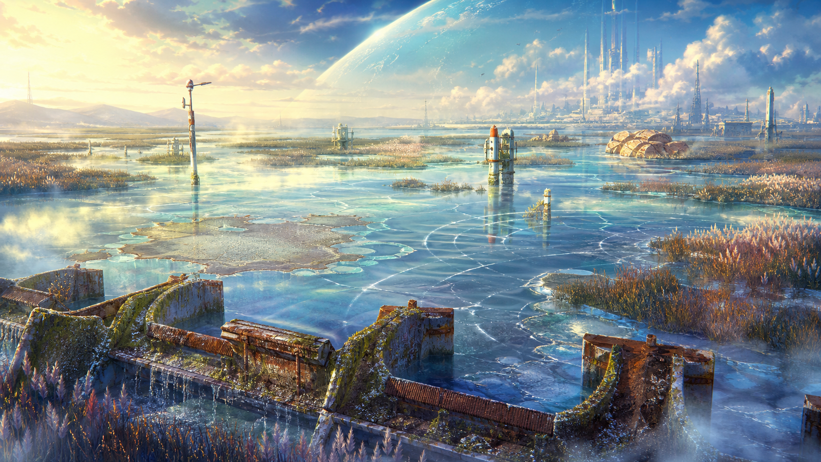
Tidal Echo Wetland

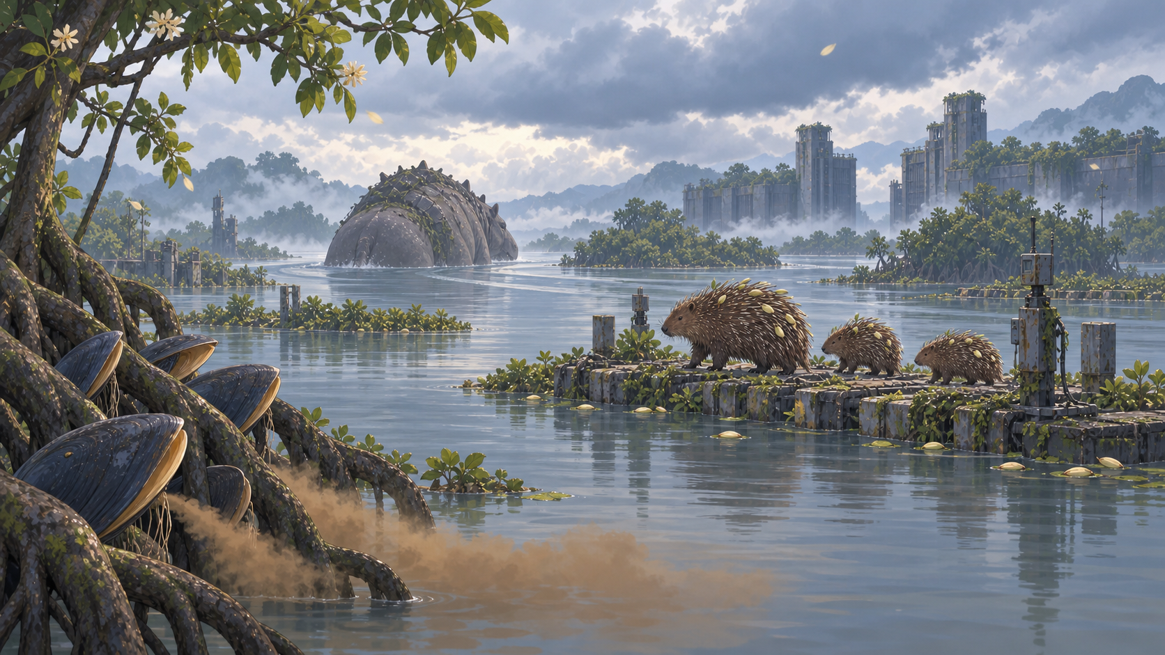
Warm vapor from the dome, periodic pressure releases from old flood-control works, and seawater intrusion converge here. Transit tubes, maintenance towers, and tide gates surface only at low tide, while submerged metal frames carry sound through the shallows and turn the whole wetland into a resonator.

NB-01 · Vancouver Dome FrontierEnter this habitat ↗

Broken-Needle Thermal Fjord coverHabitat Note
Aleutian Magnetic Storm ChainLocal habitat

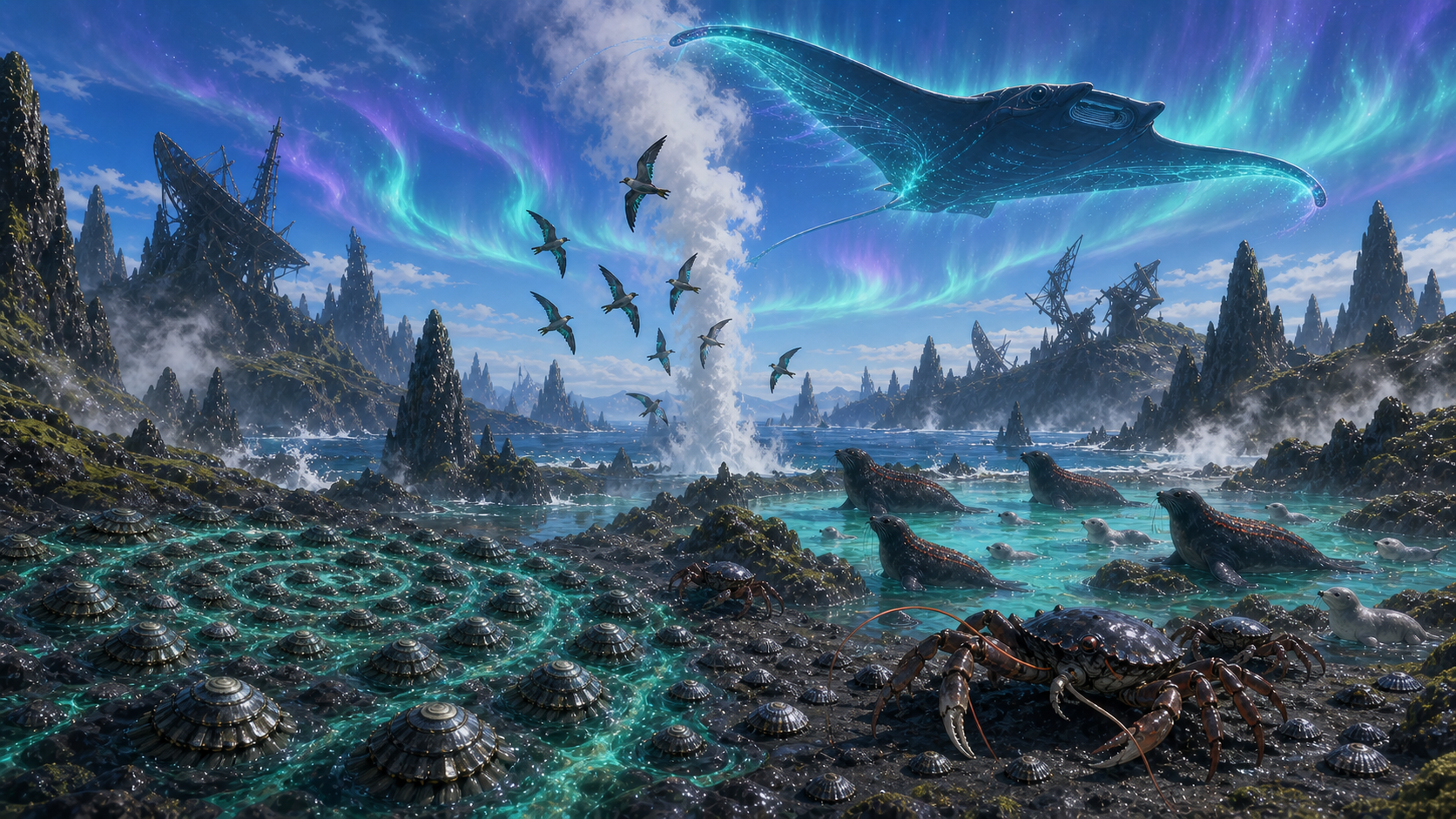
Broken-Needle Thermal Fjord

Magnetite-rich basalt needles have absorbed years of storm charge. As tides rise and geothermal vents breathe, the rock releases that charge slowly. Cold seawater, turquoise hot springs, sulfur deposits, and a collapsed prewar radar array create a layered habitat where compasses drift in a repeating cycle and reflected signals can mislead even reliable electronic navigation.

NB-02 · Aleutian Magnetic Storm ChainEnter this habitat ↗
Diffraction Mycelium Reserve coverHabitat Note
Neo Babylon Chip SanctuaryLocal habitat

Diffraction Mycelium Reserve

The reserve began as an understory isolation zone for testing photonic wafers and heat-dissipation materials. Mycelium and tree roots now cover the retired wafer glass, turning it into polarized terraces that split dome light. Condensation water, low-grade waste heat, and mineral films left by maintenance machines sustain a local ecology that depends on diffraction, static charge, and fungal rings.

NB-03 · Neo Babylon Chip SanctuaryEnter this habitat ↗
Silent-Frequency Algae Canopy Corridor coverHabitat Note
Kuroshio Floating City ChainLocal habitat

Silent-Frequency Algae Canopy Corridor

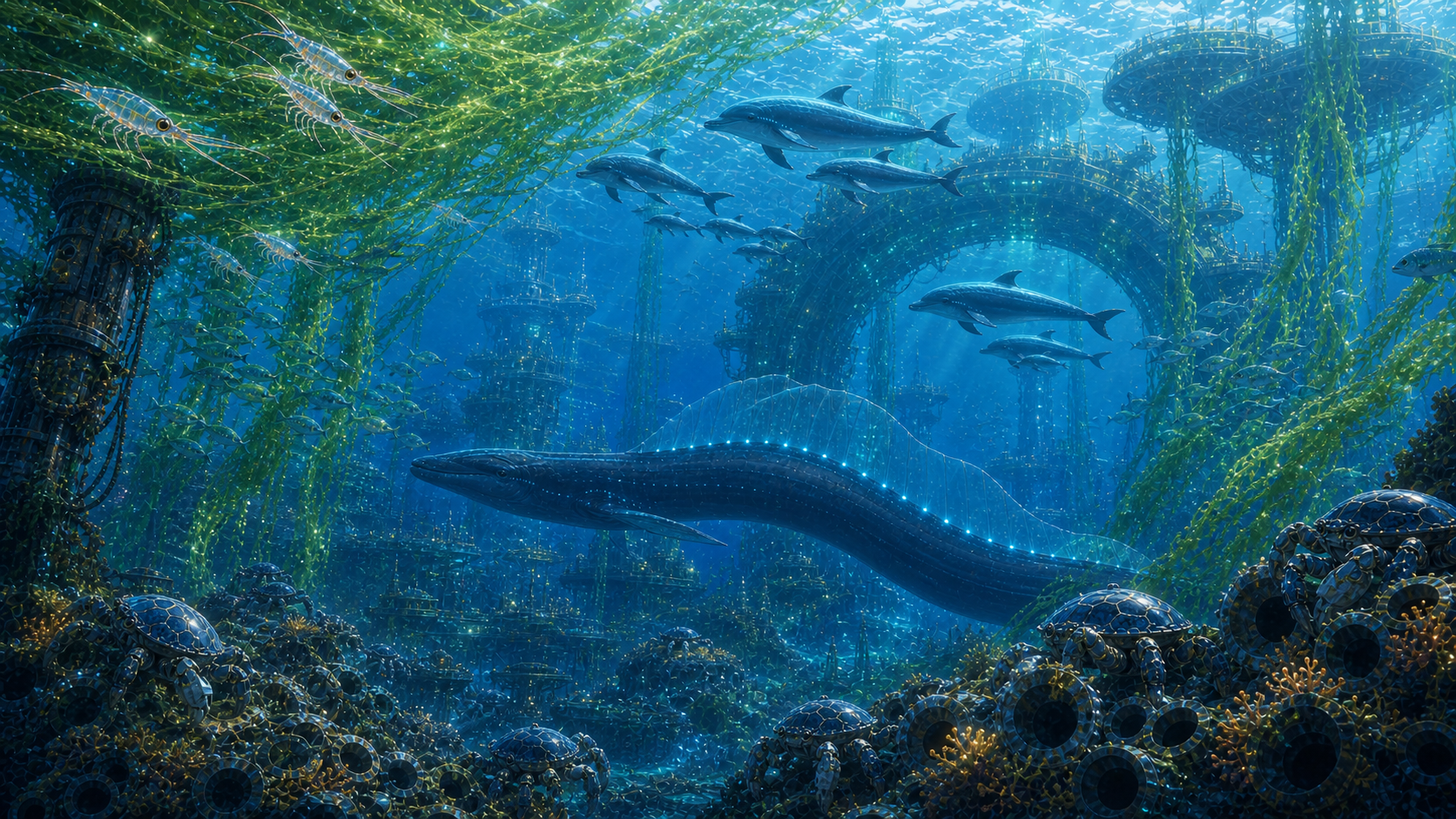
The corridor was built for anchor changes, maintenance, and the passage of marine life. As the city moves, algae-energy membranes cast kilometers of cyan-green shadow over seasonal plankton, grazing fish, and reefbuilders. Artificial reefs travel with the deep anchor cables. Beneath them, a drowned city's military sonar began feeding back through floating-city communications, folding a once-readable Kuroshio soundscape into overlapping false routes.

NB-04 · Kuroshio Floating City ChainEnter this habitat ↗
Mist-Crown Mycelial River Buffer Forest coverHabitat Note
South Seas Forgotten ArchipelagoLocal habitat

Mist-Crown Mycelial River Buffer Forest

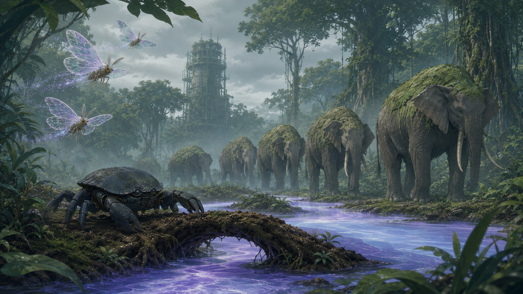
The forest stands where equatorial monsoons meet ocean-borne acid rain. Giant leaves intercept the rain first. Mineral films and symbiotic fungi reduce its acidity before the water moves along buttress roots and shallow channels, forming a cyan-violet Mycelial River beneath the canopy. The abandoned climate station once supplied fresh water to the South Seas outpost through mist condensers. After shutdown, roots and mycelia gradually absorbed the structures into a vertically layered water system: canopy interception, under-leaf predation, ground-level decomposition, root-channel flow, and migration by large ecosystem engineers.

NB-05 · South Seas Forgotten ArchipelagoEnter this habitat ↗
Tide-Vein Crystal-Reef Restoration Corridor coverHabitat Note
Coral Ark HarborLocal habitat

Tide-Vein Crystal-Reef Restoration Corridor

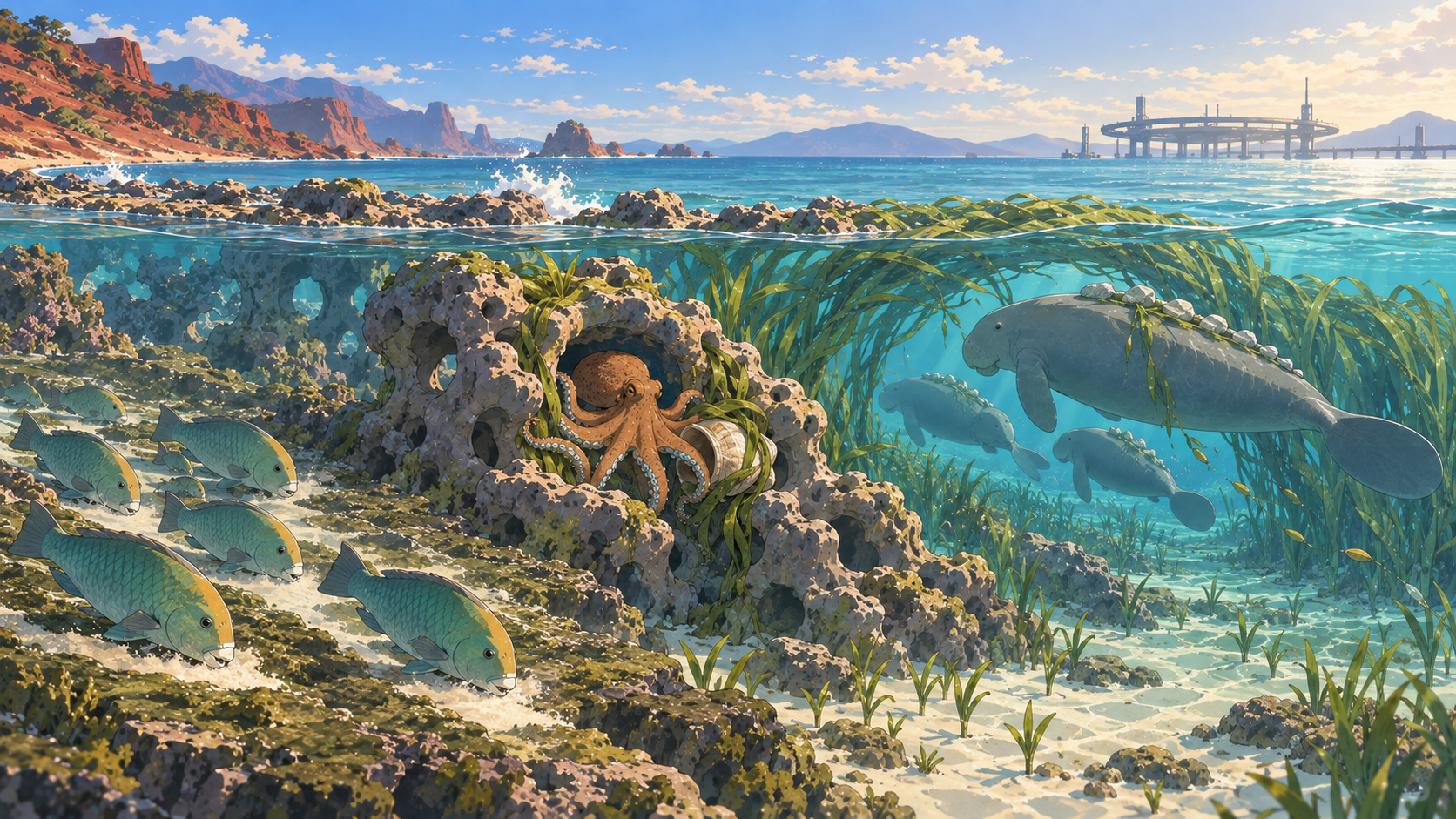
This corridor is the harbor's outer natural breakwater and can still renew itself. Crystal coral adsorbs metals and radioactive particles from seawater. Seagrass root beds hold the carbonate sand made by parrotfish. Flexible reef pores and deep channels let larvae, fish, and large migrants cross the harbor before storm season. Hard reef becomes a sealed wall unless those flexible openings and the seagrass belt remain connected.

NB-06 · Coral Ark HarborEnter this habitat ↗
JOURNEY DISPATCH

Subscribe to K's Hunting Log

Follow Fang and K into a world that has not yet been understood.